Terms of Use and License
By using the LeoMeteo UK website, you agree to comply with the following terms:
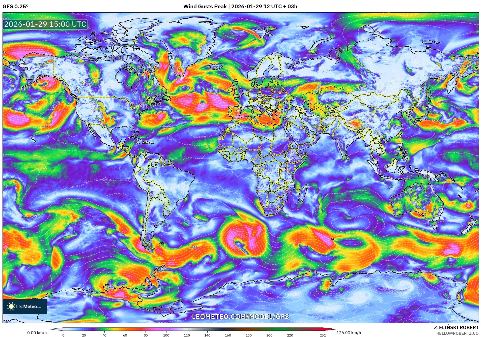
You may use the content provided on the website, especially weather forecast maps from the GFS and ICON models, for non-commercial purposes. You may share selected individual maps through social media or on a blog, provided that you retain our watermarks and indicate accreditation to the source.
The use of individual weather forecast maps on commercial websites is permitted, as long as each time the article includes a link to the source with a hyperlink to the LeoMeteo UK website and our watermarks are not removed. In this way, you can use the visualizations in your media as long as you do so fairly and not against our interests in developing and promoting our services under the Creative Commons Attribution 4.0 International license. Automated embedding of multiple weather forecast maps is prohibited.
We reserve the right to revoke the license granted to you under the above terms or to change the terms in the future at any time.
If you need additional weather maps, charts, or data for your company, please contact us at info@leometeo.uk.
Image Processor
Hey, your feedback is a key to improving our models!
